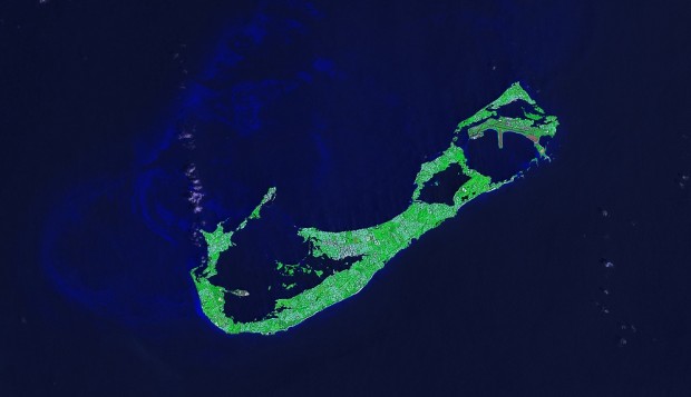
Satellite Photo: Bermuda From 700km
Taken from approximately 700 kilometres above earth, NASA’s Landsat 7 satellite captured this image of Bermuda on August 14, 1999. The Landsat Program is a series of Earth-observing satellite missions jointly managed by the U.S. space program NASA and the U.S. Geological Survey.
Read More About
Category: All


