
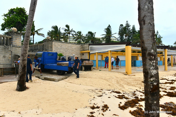
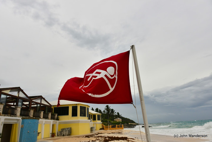
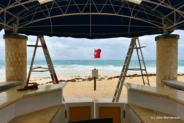
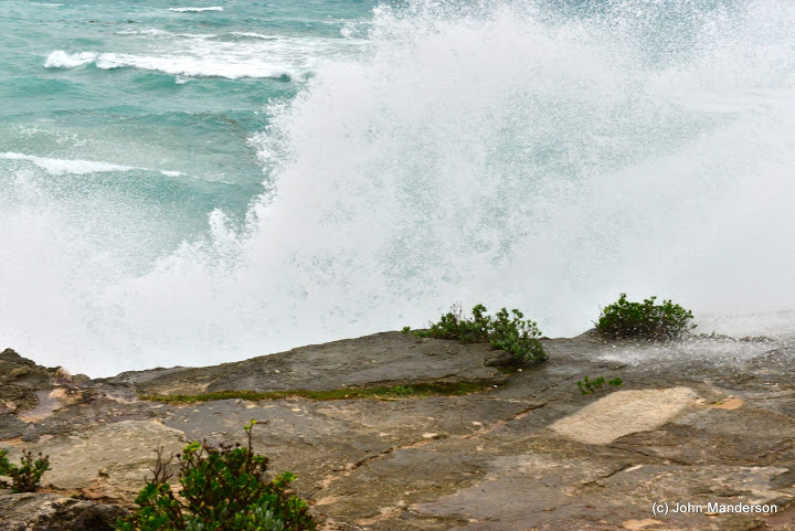
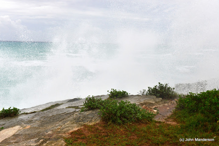
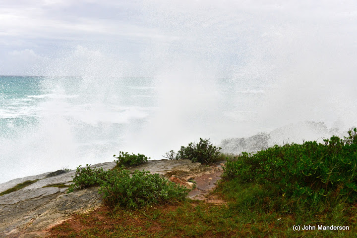
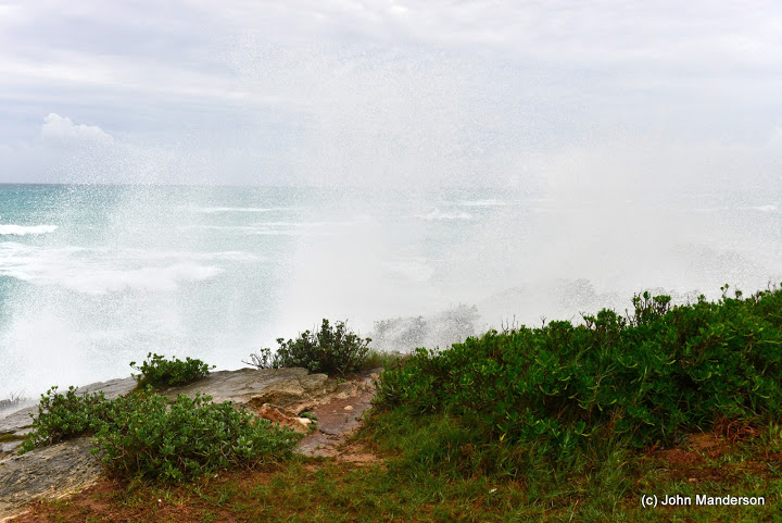
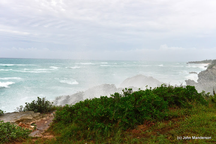
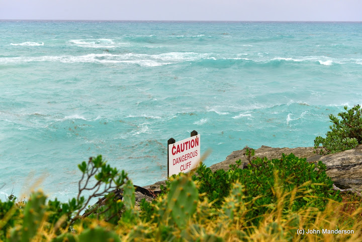
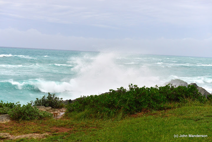
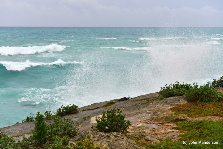
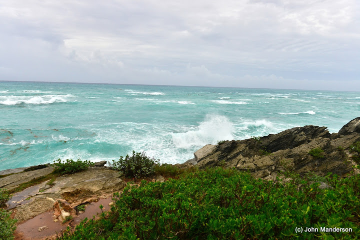
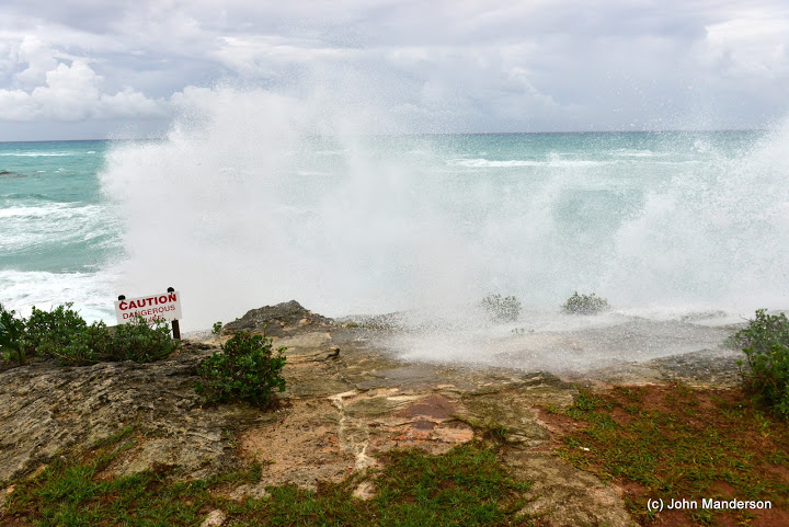
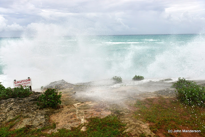
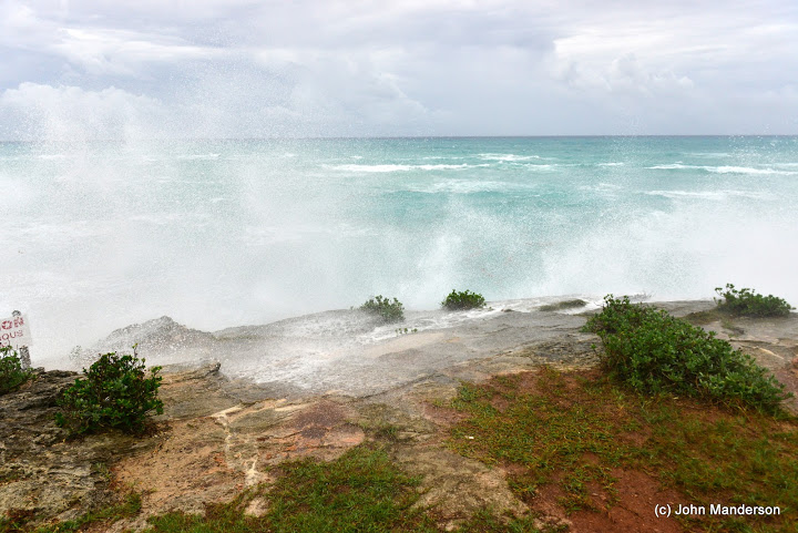
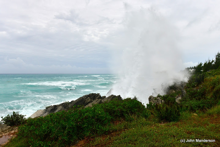
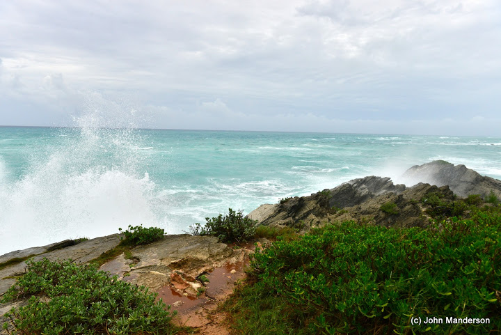
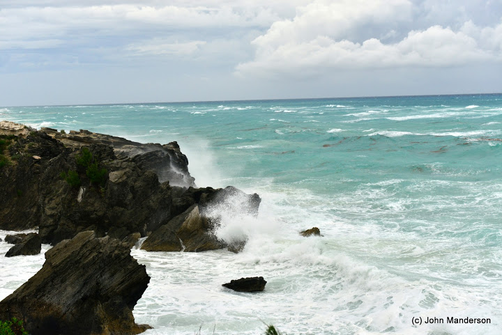
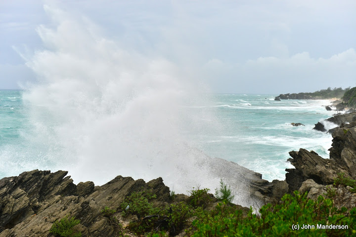
Photos: South Shore As Hurricane Approaches
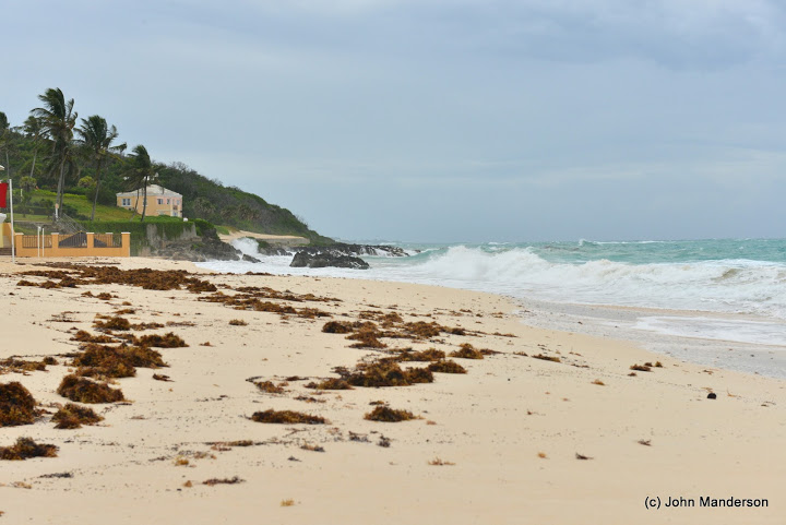
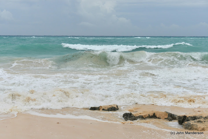
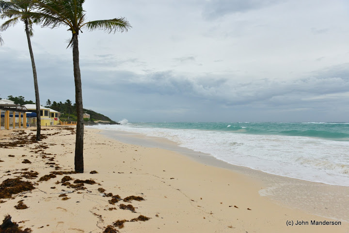
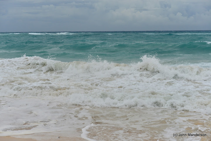
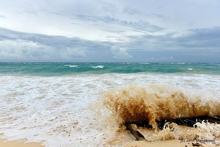
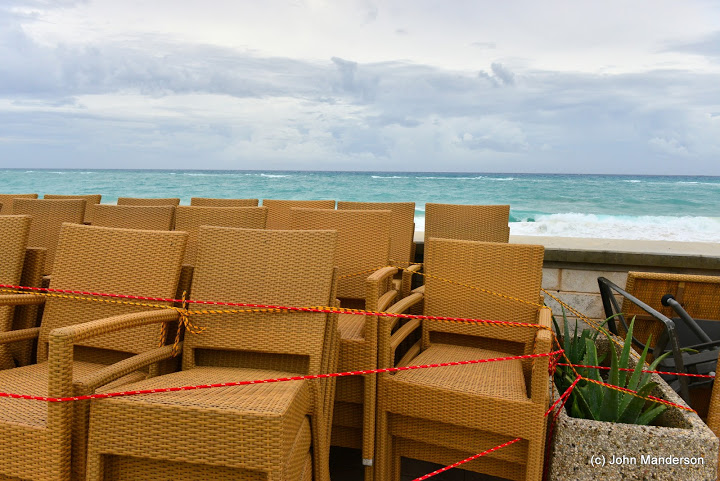
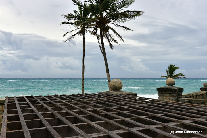
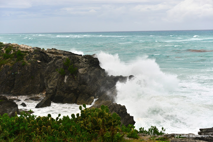
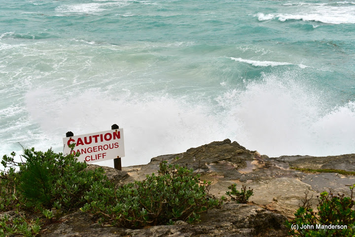
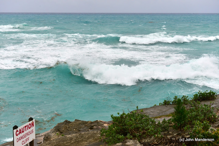
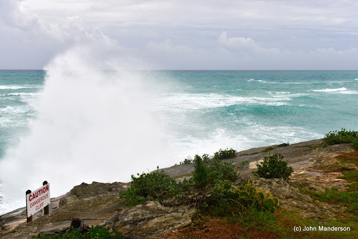
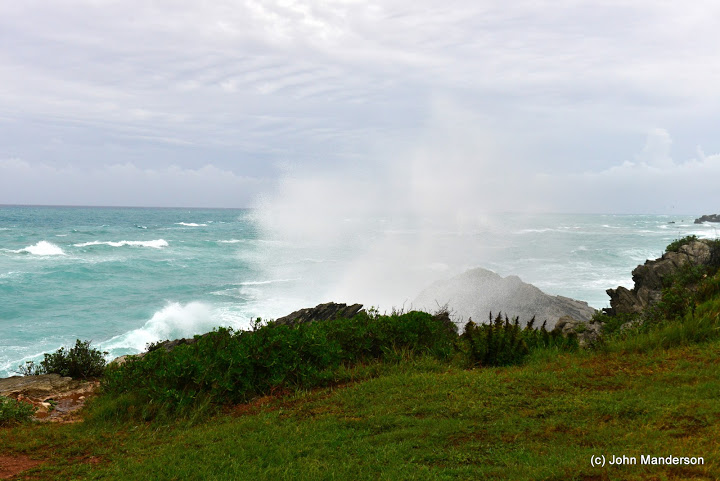
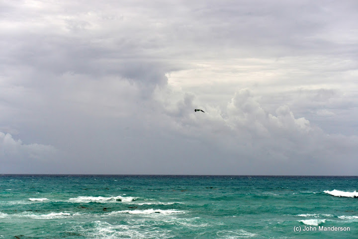
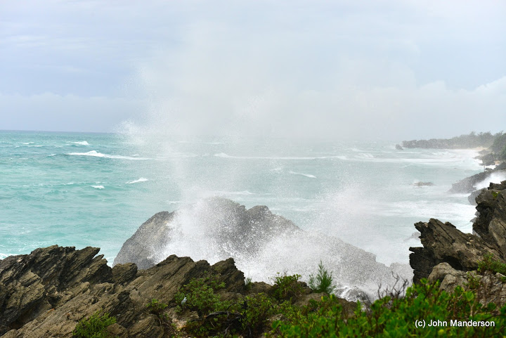
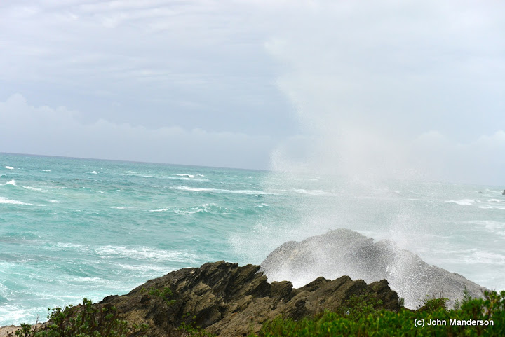
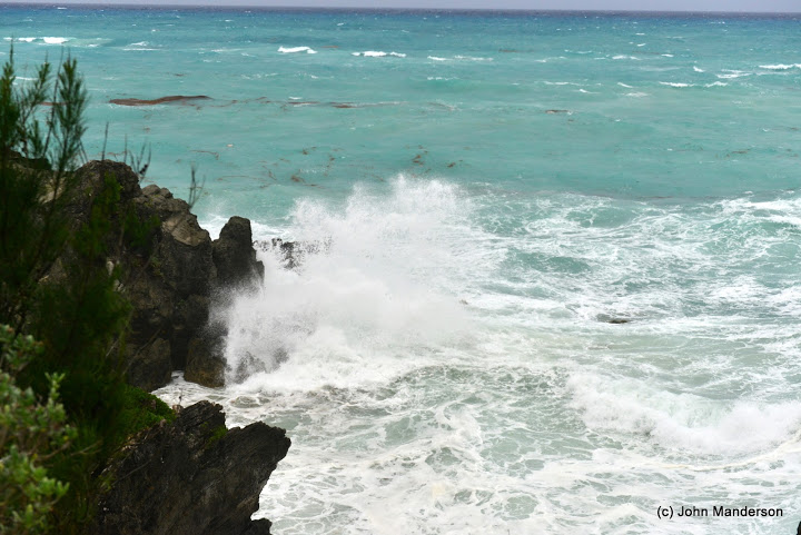
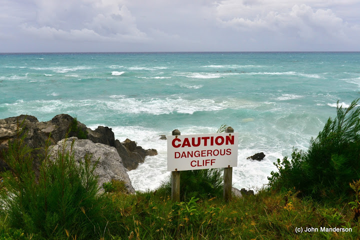
The signs of Hurricane Rafael are beginning to show, with increased waves along the South Shore this morning [Oct 16].
The latest update from the NHC said Hurricane Rafael is now 255 miles south of Bermuda moving NNE at 24mph, with maximum sustained winds near 85mph. At 12pm the BWS said its closest point of approach to Bermuda is forecast to be 108 nm to the ESE at 8pm this evening.

The Bermuda Weather Service forecast said: “As Hurricane Rafael makes its approach today, rain and showers will increase, heavy at times with risk of thunder, as winds increase toward tropical storm force with higher gusts this afternoon and tonight.
“Rafael will pass to our east by late evening with gradual improvement overnight. Beware of hazardous surf and rip currents along the south shore.” For updates on storm-related cancellations click here.
Click to enlarge photos:


Read More About
Category: All, Environment, Photos
WOW, that sea looks a lot rougher than Leslie, the tide is super high with surge…When is the next scheduled EMO update…? Is this going to be a mad scramble at the end of the day?
just winter storm
The Lord has blesssed us one more time!