
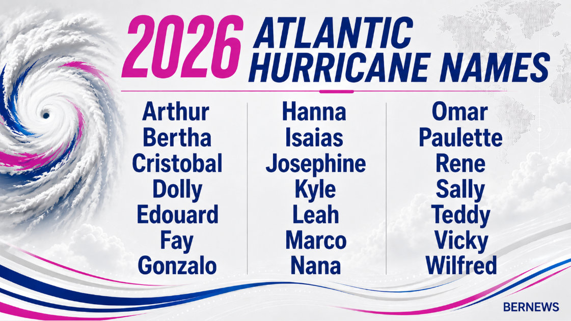
CSU Updates 2026 Atlantic Hurricane Forecast
Colorado State University hurricane researchers have reduced their 2026 Atlantic hurricane season forecast slightly and continue to call for a below-average Atlantic hurricane season with their updated 2026 projection.
A spokesperson said, “CSU’s Tropical Cyclones, Radar, Atmospheric Modeling, and Software Team, in the Department of Atmospheric Science, cites the increased likelihood of a moderate to strong El Niño as a primary factor for the prediction of 11 named storms [e.g., tropical storms and hurricanes], of which they anticipate five to become hurricanes and two to become major hurricanes [Category 3+ on the Saffir-Simpson Hurricane Wind Scale]. These numbers are below the long-term seasonal average of 14, seven and three, respectively. For reference, the April forecast called for 13, six and two, respectively.”
“El Niño, a recurring climate pattern that is characterized by warmer than normal water in the eastern and central tropical Pacific, tends to increase upper-level westerly winds across the Caribbean into the tropical Atlantic.
“These winds result in increased vertical wind shear, which is unfavorable for Atlantic hurricane formation and intensification. Moderate to strong El Niño events generally have a stronger tropical Atlantic vertical wind shear impact than weak El Niño events.
“The tropical Pacific currently has warm neutral El Niño-Southern Oscillation [ENSO] conditions. These conditions are forecast to transition to El Niño shortly. While the intensity of the El Niño remains uncertain, the CSU team anticipates that a moderate to strong El Niño is very likely by the peak of the Atlantic hurricane season from August–October.
“Currently, waters in the western tropical Atlantic are near average, while they are cooler than normal in the central and eastern tropical Atlantic. Overall, current sea surface temperatures across the tropical and subtropical Atlantic present mixed signals for the hurricane season.
“While the eastern subtropical Atlantic is relatively warm, favoring above-normal Atlantic hurricane activity, the relatively cool waters in the eastern and central tropical Atlantic favor below-normal hurricane activity.
“Warmer water temperatures in the Atlantic favor an aboveaverage season, since a hurricane’s fuel source is warm ocean water. Additionally, a warm Atlantic leads to lower atmospheric level pressure and a less stable atmosphere. Both conditions favor hurricane formation.
“Given the marginal signals in the Atlantic and the increased likelihood for a moderate to strong El Niño, the CSU forecast team is now more confident in its prediction of a below-normal 2026 season.”
The Ministry of National Security has urged residents to complete their hurricane preparations early as the 2026 Atlantic Hurricane Season begins, with Minister of National Security Michael Weeks previously stating: “A quieter forecast does not mean a safe season for Bermuda. It only takes one storm to cause serious disruption to this Island, and my instruction to every resident is clear: do not wait. The time to prepare is right now, while shelves are stocked, conditions are calm, and you have the space to think clearly.”

What will the feedback be from all those climate doom and gloom pushers who keep saying more frequent and more intense hurricanes? The Colorado State University hurricane research website has great, easy-to-read, user-selectable graphics.
Year Named Storms Named Storm Days Hurricanes Hurricanes Days Cat. 3+ Hurricanes Cat. 3+ Hurricanes Days Accumulated Cyclone Energy